Drone Solutions
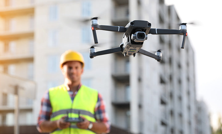
SITECH Chesapeake Is Your Drone Solutions Partner
At SITECH Chesapeake, we deliver complete drone solutions for your projects. Whether you need software, hardware, training, or ongoing support, our team is ready to serve as your Unmanned Aerial Systems partner.
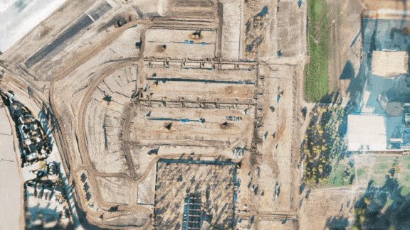
We provide drone solutions purpose-built for surveying, mapping, engineering, and construction firms. Capture accurate topographical data, reduce manual survey time, and collect large volumes of site information to improve estimating, planning, and production tracking.
Contact us today to schedule a consultation and discover how drone technology can transform your jobsite visibility.
SOFTWARE SOLUTIONS
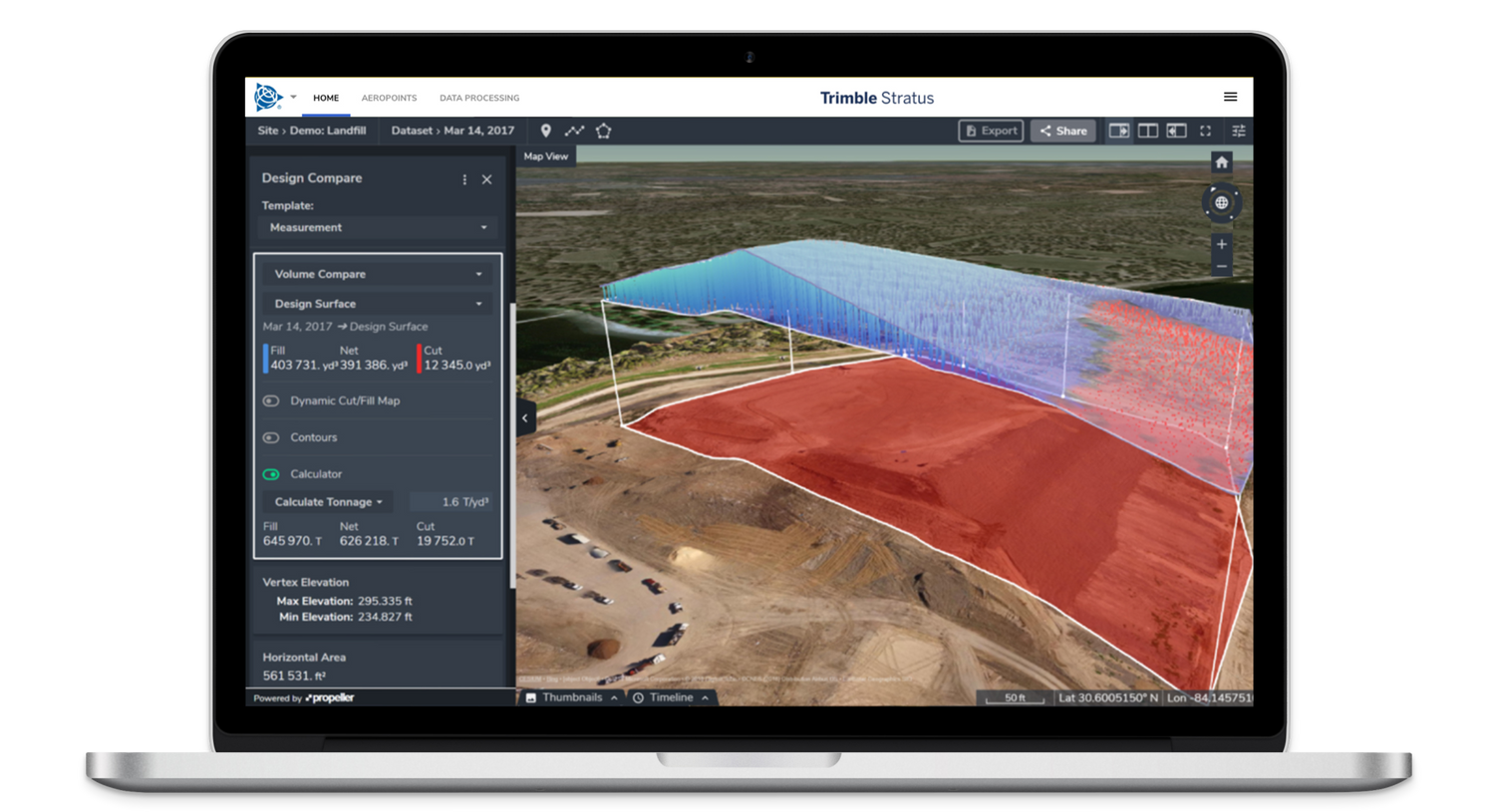
Drone Software Powered by Propeller
Propeller delivers a powerful cloud-based platform designed specifically for earthmoving and construction workflows. With fast processing, survey-grade accuracy, and intuitive 3D visualization tools, Propeller enables teams to turn drone data into actionable jobsite intelligence.
From mapping and measuring to tracking production and validating quantities, Propeller provides a centralized platform to manage your drone data with confidence and clarity.
Gain real-time insight into your progress, compare design surfaces to as-built conditions, and make data-driven decisions that keep your projects on track.
Features & Benefits
Propeller empowers you to manage your site with simpler, faster, smarter data.
- Accurate – Survey-grade processing with reliable volumetric calculations
- Connected – Seamlessly share data across your teams and stakeholders
- Insightful – Access 3D maps, cut and fill analysis, and progress tracking from any device
- Supported – Expert processing and responsive technical assistance
- Centralized – Manage your site data, measurements, and reporting from one platform
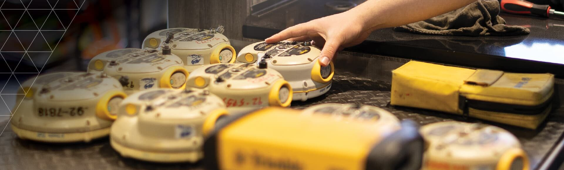
HARDWARE SOLUTIONS
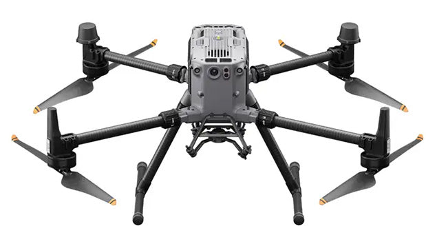
DJI Matrice 350
The M350 is built for tough conditions and extreme temperatures with a self-heating battery and weather sealant that protects it from rain, dust, and even winds. Survey large, complex job sites with ease and accuracy.
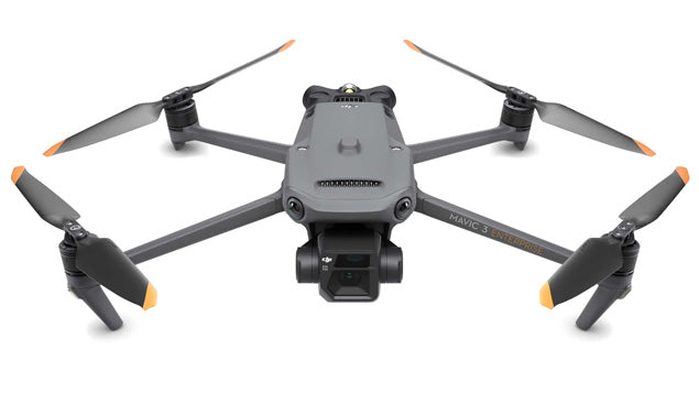
DJI Mavic 3E
The Mavic 3 Enterprise is a commercial-grade, survey-focused UAV that’s perfect for your typical earthworks site. It’s highly suitable for precision site mapping in the civil construction, aggregates, mining, and waste management industries.

WingtraRay
The WingtraRAY Drone delivers a powerful, professional-grade drone surveying system tailored for high-accuracy aerial mapping, bathymetry, and geospatial data collection projects.
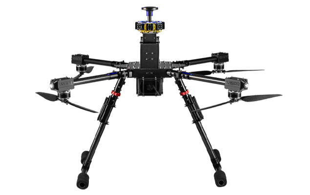
WISPR Skyscout
The SkyScout is a small, lightweight, yet highly durable drone for use in a wide range of applications including surveying, construction, and inspection workflows. Offering custom-tailored payloads, it empowers users to collect data with pinpoint accuracy and versatility.
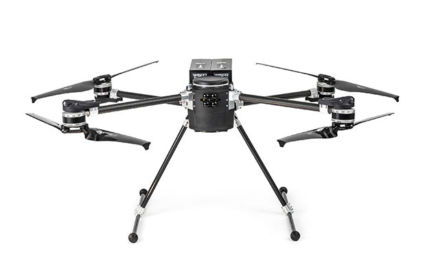
WISPR Ranger Pro
The Ranger Pro is built to withstand the most challenging conditions. Its rugged design, including a carbon fiber frame, ensures it can thrive in demanding environments. Its adaptability is equally impressive, accommodating a variety of sensors and payloads.

FreeFly Astro Max
The Freefly Astro is a compact, American-made, NDAA-compliant industrial drone designed for professional mapping, inspection, and surveying, offering up to 37 minutes of flight time and a 1,500-gram (3.3
lb) payload capacity.

Skydio X10
The Skydio X10 packs more megapixels and better optics than any drone of its size, Skydio X10 boasts high-resolution visual and
radiometric cameras in modular sensor packages. So you can capture the right
details for your job.
TRAINING & SUPPORT SOLUTIONS
At SITECH Chesapeake, we are more than a drone dealer. We are your long-term technology partner.
We begin by understanding your workflows and identifying the right solution for your business. After purchase, our team provides hands-on training to ensure your crews are confident in the field and maximizing the value of your drone investment.
From setup and training to service, support, and ongoing optimization, our experts are here when you need them.
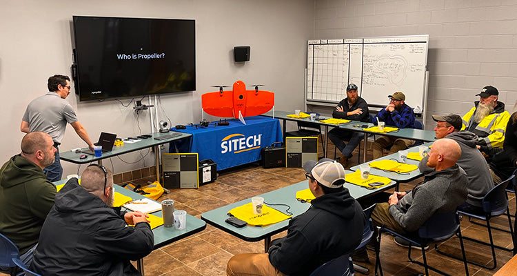
Demo Events & Hands-On Experiences
SITECH Chesapeake and Propeller regularly host live demo events for customers interested in exploring drone surveying technology.
Experience drone flights with DJI and Wingtra platforms, then see how Propeller transforms raw aerial data into detailed 3D maps, production tracking dashboards, and actionable insights.